Short answer. A sun path calculator draws the arc the sun takes across the sky for one place on one day: where it rises, how high it climbs at midday and where it sets, with its position (compass direction and height) at every hour. Free web calculators such as SunCalc and SunEarthTools do this for any spot on Earth. What they do not tell you is whether that sun actually reaches your window past the buildings and trees around you. For that you need a sun tool that knows your street and your floor.
Try it free: type your address, pick your floor and window, see the sun's path and your hours of sun
What a sun path calculator tells you
Every sun path or sun position calculator works from three things: where you are (latitude and longitude), the date and the time. From those it gives:
- Azimuth: the sun's compass direction, measured clockwise from north. 90° is east, 180° is south, 270° is west.
- Altitude (height): how high the sun stands above a flat horizon. 0° is on the horizon, 90° is straight overhead.
- Sunrise and sunset: the times, and the directions where the sun comes up and goes down.
- Solar noon: the moment the sun is highest, and due south (in the northern hemisphere).
- The path itself: the arc joining all those positions over the day, often with the arcs for the longest and shortest days drawn too.
Some add twilight times, shadow lengths or numbers for solar panels. None of that needs buildings: it is pure astronomy, which is why it works anywhere instantly.
How the sun's path changes through the year
In the northern hemisphere the sun's path is a low, short arc in winter and a high, long one in summer:
- Around 21 December it rises in the southeast, stays low in the south and sets in the southwest.
- Around 21 March and 23 September it rises due east and sets due west.
- Around 21 June it rises in the northeast, climbs high and sets in the northwest.
How far north the sunrise swings, and how high the midday sun gets, depends on your latitude. Worked out with the standard sun formulas:
| City | 21 December: rises / sets | 21 December: midday height | 21 June: rises / sets | 21 June: midday height |
|---|---|---|---|---|
| Los Angeles | 119° / 241° | About 32° | 61° / 299° | About 79° |
| New York | 122° / 238° | About 26° | 58° / 302° | About 73° |
| Toronto | 123° / 237° | About 23° | 57° / 303° | About 70° |
| Vancouver | 128° / 232° | About 17° | 52° / 308° | About 64° |
| London | 130° / 230° | About 15° | 50° / 310° | About 62° |
| Edinburgh | 135° / 225° | About 11° | 45° / 315° | About 57° |
On 21 March and 23 September every one of these cities sees the sun rise at about 90° (due east) and set at about 270° (due west).
The midday height has a simple formula you can do on a phone: 90 minus your latitude, plus the sun's declination. The declination is about +23.4° on 21 June, 0 at the equinoxes and about -23.4° on 21 December. London sits at 51.5° north, so on 21 December: 90 - 51.5 - 23.4 = about 15°.
The sun's position hour by hour
London (51.5° north), solar time, nothing in the way. Height is above a flat horizon; direction is the compass bearing of the sun.
| Solar time | 21 December | 21 March | 21 June |
|---|---|---|---|
| 6:00 | Below the horizon | Rising, due east | 18° high, 75° (east-northeast) |
| 9:00 | 5° high, 139° (southeast) | 26° high, 128° | 46° high, 112° |
| 12:00 | 15° high, 180° (south) | 38° high, 180° | 62° high, 180° |
| 15:00 | 5° high, 221° (southwest) | 26° high, 232° | 46° high, 248° |
| 18:00 | Below the horizon | Setting, due west | 18° high, 285° (west-northwest) |
Solar time is not clock time. Solar noon is when the sun is due south. With summer time (daylight saving), it comes around 1 pm on the clock, and it shifts a few minutes either way with your position inside the time zone and the time of year. A good calculator does that for you.
How to read a sun path map or sun path diagram
A sun path map draws lines over a map from the spot you pick: usually one line towards sunrise, one towards sunset, one towards the sun's position now, and the day's arc. Turn your street on the map and you can see which way the sun comes from at breakfast and at dinner.
A sun path diagram (or sunpath chart) is a round chart seen from above:
- the rings are heights, from the horizon at the edge to straight overhead in the middle;
- the spokes are compass directions;
- each curve is the sun's path on one date, usually the 21st of each month; the outer curve nearest the south edge is December, the one reaching furthest north is June;
- hour lines cross the curves, so you can read where the sun is at 9 am in February.
Architects lay the outline of buildings on this chart to see when they hide the sun. That is the step a plain calculator leaves to you.
South of the equator
In Sydney, Cape Town or Buenos Aires everything is mirrored: the midday sun stands to the north, the winter path is low in the north, and the sunniest walls face north. The formulas are the same; a calculator handles it.
What a sun path calculator cannot tell you
It knows where the sun is, not what stands in front of you. On a winter day in London the sun never climbs above about 15°, so a house across the street or a row of trees can hide it all day, while the calculator cheerfully says "sunrise 8:04". Three things decide whether the sun reaches you:
- What is to your south (and east and west), how tall and how far away. See how far a shadow reaches.
- Your floor. Higher windows clear more of the street. See which floor gets the most sun.
- Which way your window faces. See how much sun each side of a house gets.
Which free sun calculator for which job
- Sun times and position anywhere, with lines on a map: SunCalc.
- Printable sun path charts and tables for a whole year: SunEarthTools.
- Where the shade falls right now over a whole neighbourhood: ShadeMap.
- Standing on the spot with your phone, the sun's path over the real skyline: an AR sun app; see Sun Seeker and other sun direction apps.
- How many hours of sun reach your window, on your floor, month by month: Flatwalk's free sun tool.
We compared the first three and Shadowmap in more detail in ShadeMap vs SunCalc vs Shadowmap.
See the sun's path at your own address, step by step
Flatwalk's free tool, Sun at your window, puts the sun's path over your building in 3D and counts the buildings, trees and hills in the way.
- Type your address under "See the sun at your window". Suggestions come up while you type.
- Find your building on the satellite map. The one under the pin is green; tap another if it is wrong. Choose A whole house ("All floors are mine") or A flat ("One floor of this building") and set your floor.
- Put a window on the wall. Every outside wall has a tag, such as "South wall · sun side". Tap the wall, then tap where the window is, or drag to draw it. It shows which way it faces, for example "Faces south-west, 224°".
- Tap See my sun. You get the hours of direct sun that day, the first and last sun, sunrise and sunset, and the sun's height and compass direction on its arc.
- Move through time. Drag the hour, or play the day to watch the sun cross the sky. Pick Today, Longest, Shortest, any month or an exact date. On the days the clocks change, the tool tells you.
- Read the year. The 12 month bars ("Hours a day, by month") show how the sun at your window changes through the year, and What takes your sun names what blocks it, such as a building to the south or a tree to the east.
- Copy link to keep the view or send it to someone.
Try it free: see the sun's path over your building
What it cannot tell you
- Modelled, not measured. The hours are worked out from maps and the sun's position, not from a light meter at your window.
- Where the data is best. Building heights are measured in London, Manchester, Cardiff, Edinburgh, Glasgow, Berlin, Munich, Hamburg, Warsaw, Kraków, Wrocław, New York City, Chicago, Toronto, Vancouver and Montreal. Elsewhere heights are estimated, and the tool says so; outside the areas it covers in the UK, Germany, Poland, Lithuania, the US and Canada it is slower and treats the ground as flat.
- New buildings and trees. Buildings finished after the map data, and trees planted or cut since about 2017 to 2019, are missing or wrong until you fix them with Something off?
- Weather. Typical weather is a monthly average from 2005 to 2023, not a forecast, and can be about 10 to 15% off for a window.
- Windows only. It does not measure a garden lawn, a terrace floor or a roof for solar panels.
- Not a certified report. The tool's screens come in 46 languages.
- Small things it ignores: window frames, glass tint and your own roof shape. Map outlines can be a metre off the real wall.
What Flatwalk does that older planners skip
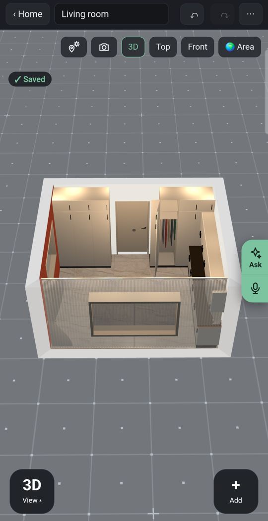
Lights
Add ceiling lights, lamps and LED strips and see where you need them after the sun goes down.
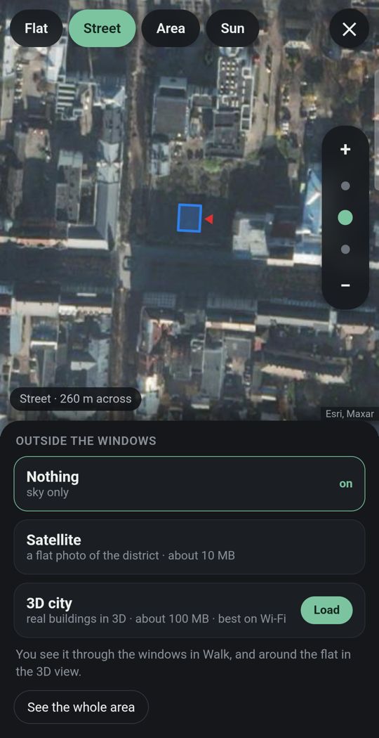
Your flat in its city
Give the address and the street and buildings around you appear in 3D where the map has them.
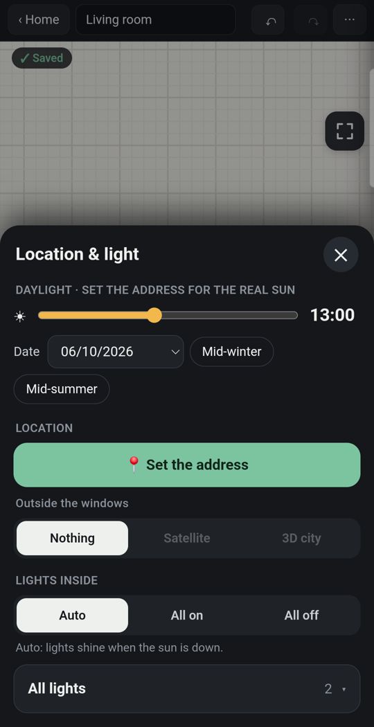
Sun for your address
Real sunlight by date and hour, and how long each room gets direct sun.
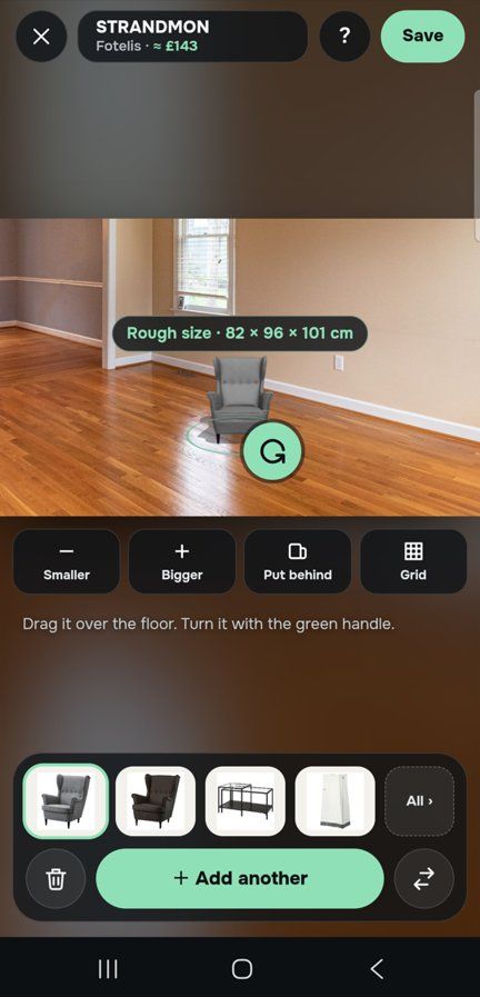
One piece, in your own room
Through the live camera or in a photo of the room, stand a sofa on your own floor at its true size.

Detail
Window and door types, kitchens, wardrobes and bathrooms built piece by piece.
Made for a thumb
Slide the hour with one finger and watch the light move through the rooms.
Swipe for more. Every picture is the app itself.
One flat, free
Most people plan one home. For that, Flatwalk costs nothing: no trial clock and no card. Drawing the flat, the sun for its address, lights, furniture and walking through it are all part of it, and each AI tool gives one free try. A membership is for people who want more flats or more AI.
Questions people ask
What is a sun path calculator? A tool that works out the sun's position (compass direction and height) for a place and date, and draws its path across the sky from sunrise to sunset. Most also give sunrise, sunset and solar noon times.
How do I find the sun position for my address? Type the address or drop a pin in a free sun calculator such as SunCalc, pick the date and slide the time. To see whether that sun reaches your window past the neighbours, use a tool that counts buildings and trees, such as Flatwalk's sun tool.
What is a sun path map? A map with the sun's directions drawn from your spot: towards sunrise, sunset and the sun's current position, plus the day's arc. It shows which way the sun comes from at each time of day.
How high is the sun at midday? Take 90, subtract your latitude and add the sun's declination: about +23.4° in late June, 0 in late March and September, about -23.4° in late December. In London that gives about 62° in June and 15° in December.
Why is the sun not due south at 12 o'clock? Clock time is not solar time. With summer time the sun is due south around 1 pm, and your position inside the time zone moves it by some minutes more.
Flatwalk puts the real sun for your address into a 3D plan of your flat, by date and hour, free for one flat. It is coming soon to Google Play; join the waiting list at flatwalk.app.
Join the waiting list